重庆水域面积计算
本文最后更新于:4 minutes ago
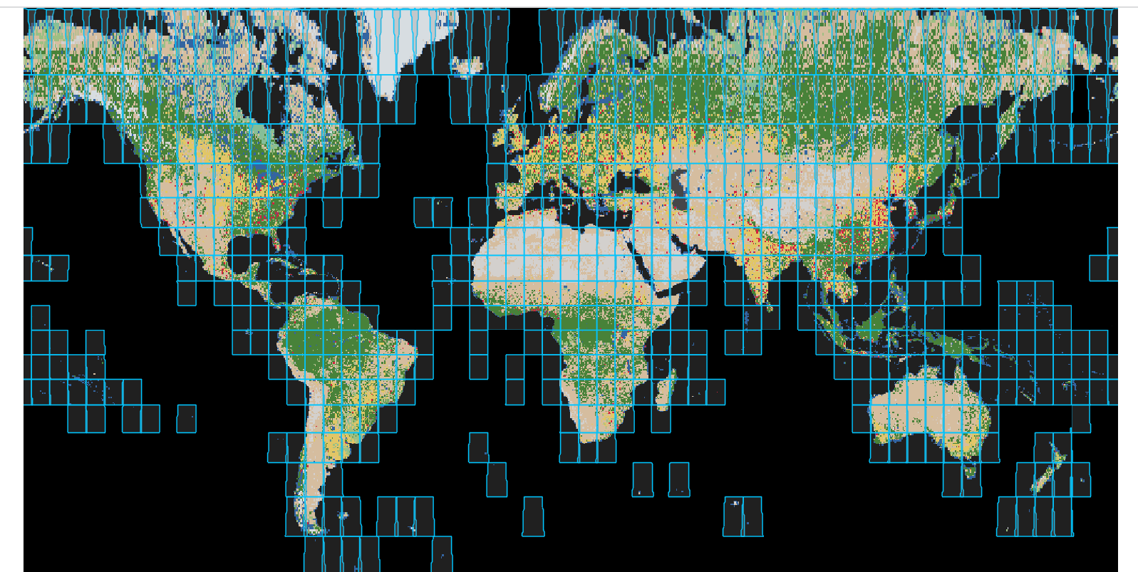
- This application provides access to the 700 individual 10-meter resolution GeoTIFF files for each year of the Sentinel-2 Land Use/Land Cover map produced by Esri, Microsoft, and Impact Observatory. The map is derived from ESA Sentinel-2 imagery and is a composite of land use/land cover predictions for 9 classes for each year from 2017-2021.
- Downloaded files have no style applied. To replicate the colors and class names, apply this raster function.此步骤较为精细,详情可以问QQ1750383096
- 打开转换好的栅格的属性表,看到Count,是栅格数量,因为分辨率是10m,所以每个栅格大小是100$m^2$,Count值乘100就是以平方米为单位的面积
- 我用了Zonal Geometry计算面积也是可以的,得到约1988平方公里,占总面积的2.4%,与官方数据2.65%近似,有一定误差